
Search and rescue teams face a difficult set of challenges on nearly every mission. Search areas can stretch for miles, terrain is often dangerous, visibility can be limited by darkness, weather, or dense cover, and time is rarely on anyone’s side.
With the rise of drone technology, search-and-rescue missions are becoming easier and safer for everyone involved. But how exactly are drones helping rescue teams overcome these challenges?
Let’s look at how search-and-rescue drones actually work, the key technologies that make them effective, and the situations where they’re most commonly used.
What Are Search and Rescue Drones?
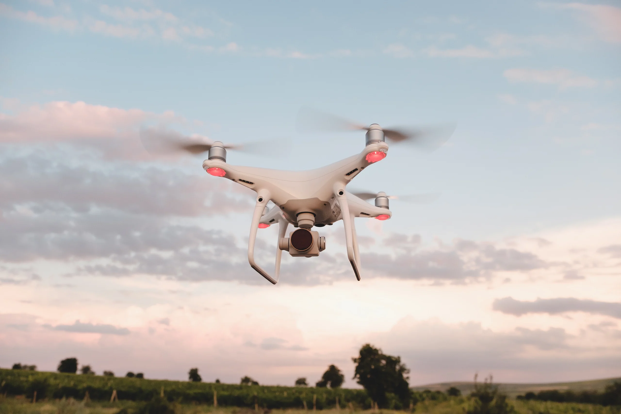
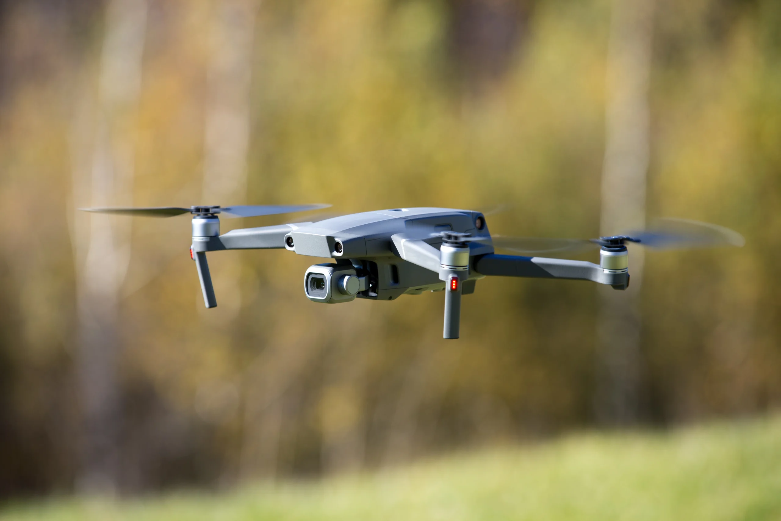
Search-and-rescue drones are unmanned aerial vehicles (UAVs) that assist emergency teams during rescue operations by providing a fast aerial view of search areas.
Unlike traditional aircraft such as helicopters, drones require fewer resources and can be deployed in locations that may be difficult or unsafe for humans to access.
Their compact size and quick speeds allow them to navigate areas where traditional search methods may be challenging.
They are now being used by search and rescue organizations across the globe, including the National Association for Search and Rescue.
Common Uses of Drones in Search and Rescue
Search and rescue drones are not limited to one type of mission.
Here are some of the most common ways drones are being used in the field today.
- Missing Person Searches: Drones are commonly used to find lost hikers, missing children, elderly individuals, and people stranded outdoors. They can cover much more ground than a search team on foot, and with a thermal camera, they can keep working even after dark. Once something is spotted, that location gets passed straight to the ground team so they can respond quickly.
- Disaster Response and Recovery: After events like earthquakes, hurricanes, tornadoes, floods, and wildfires, drones help crews get a clear picture of the situation before sending anyone in. Drones in these situations are often used to assess damage in the area and spot survivors, in addition to helping teams identify safe routes across the area.
- Water Rescue Operations: For coastal rescues, lake incidents, and flooding, drones give lifeguards and rescue teams a clear view of what’s happening in the water. Some drones can even drop a flotation device to someone in distress, buying time until a rescuer physically reaches them.
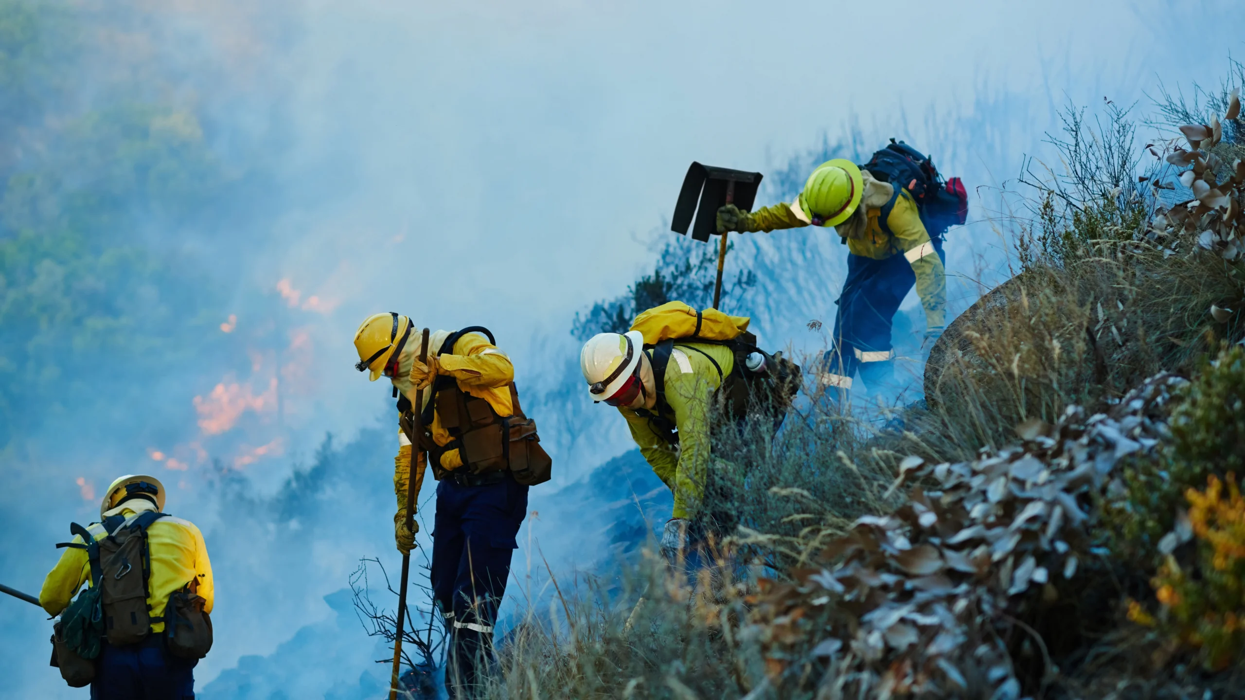
- Wildfire Search and Monitoring: During a wildfire, drones use thermal cameras to track how the fire is moving and spot anyone who might be trapped nearby. That real-time information helps responders make faster decisions on evacuations and stay ahead of conditions that can change quickly.
How Drones Help in Search and Rescue Operations
Search and rescue missions often involve difficult terrain and time-sensitive situations. With drones being implemented at various stages of a rescue operation, teams can gather accurate information and make more informed decisions.
Here are some of the key ways drones are playing a role in search and rescue:
1. Rapid Area Scanning & Surveys
One of the greatest advantages of search-and-rescue drones is their ability to scan large areas in a relatively short time. Rather than relying solely on teams searching on foot, responders can launch a drone within minutes to gain a wide aerial view of the surrounding environment.
The aerial perspective drones provide helps identify potential search locations, obstacles, damaged infrastructure, and routes that may be difficult to see from the ground.
Search and rescue drones are commonly used to survey:
- Dense forests where visibility from the ground is limited
- Mountainous terrain with steep slopes or difficult access
- Wildfire zones with active flames or heavy smoke
- Flood zones where roads and walking paths may be submerged
- Disaster areas following hurricanes or landslides
2. Accessing Dangerous or Hard-to-Reach Locations
Search and rescue operations often take place in environments that pose significant risks to emergency personnel, so before responders enter an unstable or hazardous area, drones can be deployed to gather information from a safe distance.
When a drone is deployed to provide a clear view of the area, teams can better assess the situation and determine the safest approach. This approach is most common in avalanche zones and throughout collapsed buildings after earthquakes or structural failures.
Drones in these cases drastically improve situational awareness before rescue teams enter the scene. Operators can identify blocked access routes, damaged structures, changing environmental conditions, and potential dangers that may not be visible from the ground, all of which help emergency managers prioritize rescue efforts and reduce unnecessary risks to personnel.
In some natural disasters, drones can also provide continuous monitoring as conditions change, allowing incident commanders to adjust their response plans as needed.
3. Delivering Emergency Supplies
Some search-and-rescue drones can transport lightweight supplies to people who are stranded or awaiting rescue. While these drones cannot replace rescue teams, they can provide critical assistance during the time between locating an individual and reaching them.
Depending on their payload capacity, rescue drones may deliver items such as:
- First aid kits
- Bottled water
- Emergency communication devices
- Medication
- Survival equipment
For example, if a hiker is injured on a remote mountainside, a drone may be able to deliver basic medical supplies or a two-way communication device before ground responders arrive. In flood emergencies, drones can provide stranded individuals with flotation aids, drinking water, or emergency essentials when access by vehicle or boat is delayed.
The amount of equipment a drone can carry depends on its size and design, and larger industrial drones can transport heavier payloads than smaller commercial models.
Key Technologies Used in Search and Rescue Drones
The following technologies and features help drones become a valuable addition to search and rescue missions:
Thermal Imaging Cameras
Thermal imaging cameras detect infrared radiation, allowing them to identify temperature differences rather than relying on visible light. Since people and animals naturally emit heat, thermal cameras can highlight their heat signatures even when they are difficult to see with standard cameras.
Thermal drones are especially helpful during nighttime search operations, as well as in dense forests or areas with heavy smoke during or after wildfires.
Artificial Intelligence and Automated Detection
Artificial intelligence is increasingly being adopted in search-and-rescue missions, as it can help operators analyze large amounts of aerial data more efficiently.
Instead of having someone manually scan every frame of a video, AI algorithms can automatically detect patterns and flag the spots that might need a closer look.
AI-assisted detection in drones tends to help most in:
- Recognizing human shapes in aerial images
- Picking up on movement across wide search areas
- Getting through hours of footage way faster than manual review
- Flagging possible people or objects for operators to check out
With AI doing some of the heavy lifting, teams can cover more ground in less time and are less likely to miss something important buried in hours of video.
GPS and Autonomous Flight Systems
GPS technology gives rescue drones the ability to navigate accurately and follow a planned flight path with minimal manual input.
An operator can set specific coordinates or boundaries for the drone to fly, and the drone uses GPS satellites to know exactly where it is in the air at all times, keeping it on course even without someone actively steering it the whole way.
Paired with autonomous flight systems, this lets operators run a systematic search that covers a designated area in an organized pattern, like flying back and forth in straight rows over a forest, rather than randomly.
Grid-style coverage helps ensure that no section of the search area is skipped or searched twice, which is crucial when the goal is to find someone quickly and thoroughly. It also frees up the operator to focus on watching the video feed for signs of the missing person instead of concentrating on flying the drone itself.
High-Resolution Cameras & Mapping Tools
High-resolution cameras provide detailed aerial images and live video that allows operators to identify damaged infrastructure, obstacles, access routes, and signs of human activity that may be difficult to detect otherwise.
For example, after a hurricane moves through a coastal town, a drone equipped with a good camera can capture footage showing which roads are flooded or blocked by debris. That helps responders figure out how to actually get emergency vehicles into the area, rather than sending crews out to check each route individually.
Many newer drones take this a step further with mapping software, which allows them to turn that footage into more usable formats, including:
- A live video feed that incident commanders can monitor in real time
- A detailed map of the search area
- A 3D model of the site, showing terrain and damage in a way a flat photo can’t capture
Together, the camera and mapping technology give responders a much fuller picture of the situation, making it easier to make informed decisions quickly instead of relying on guesswork.
Find the Right Drone for Your Mission
While drones provide valuable support during rescue missions, they’re designed to work alongside emergency personnel, not replace them.
Human responders are still the ones assessing situations, making critical decisions, communicating with affected individuals, and carrying out the actual rescue.
Drones simply give those teams an added layer of visibility, safety, and speed when time is working against them.
Search and rescue drones have genuinely changed how emergency teams approach difficult missions. Thermal imaging, AI-assisted detection, and aerial mapping all give responders faster access to the information they need most, right when they need it. As technology continues to improve, drones will play an even bigger role in helping teams save time and operate more safely in the field.
Search and rescue is just one piece of what drones are capable of. The same technology is also being used for perimeter protection, general business security, and more, giving security teams and staff teams a better view of what’s happening on the ground in all kinds of situations.
Contact our team to learn more about the drones we have available and how they could fit into your operations.
Frequently Asked Questions About Search and Rescue Drones
Search and rescue drones have become valuable tools for emergency response, yet many people still have questions about how they work and what they can do.
Check out these answers to some of the most common questions about these drones, or read our full FAQ drone guide.
How are drones used in search and rescue?
Search and rescue drones help emergency teams locate missing people, assess hazardous environments, monitor disaster areas, and provide live aerial footage.
Some models can also deliver small medical supplies or communication devices to people in hard-to-reach locations while responders make their way to the scene.
Can drones find people at night?
Yes. Drones equipped with thermal imaging cameras can detect heat signatures, making it easier to locate people in darkness or low-visibility conditions.
While weather, dense vegetation, and terrain can affect performance, thermal technology significantly improves search capabilities after sunset.
Are drones replacing search and rescue teams?
No. Drones are only designed to support search and rescue personnel. Teams are still the ones making rescue decisions and physically extracting survivors, among other incredibly important responsibilities.
How far can search and rescue drones fly?
Flight range varies depending on the drone model, battery capacity, weather conditions, terrain, and local regulations, but many professional search-and-rescue drones can cover several miles on a single flight.